Stay updated with the KENS 5 Weather Team on this severe weather development and how it impacts you.
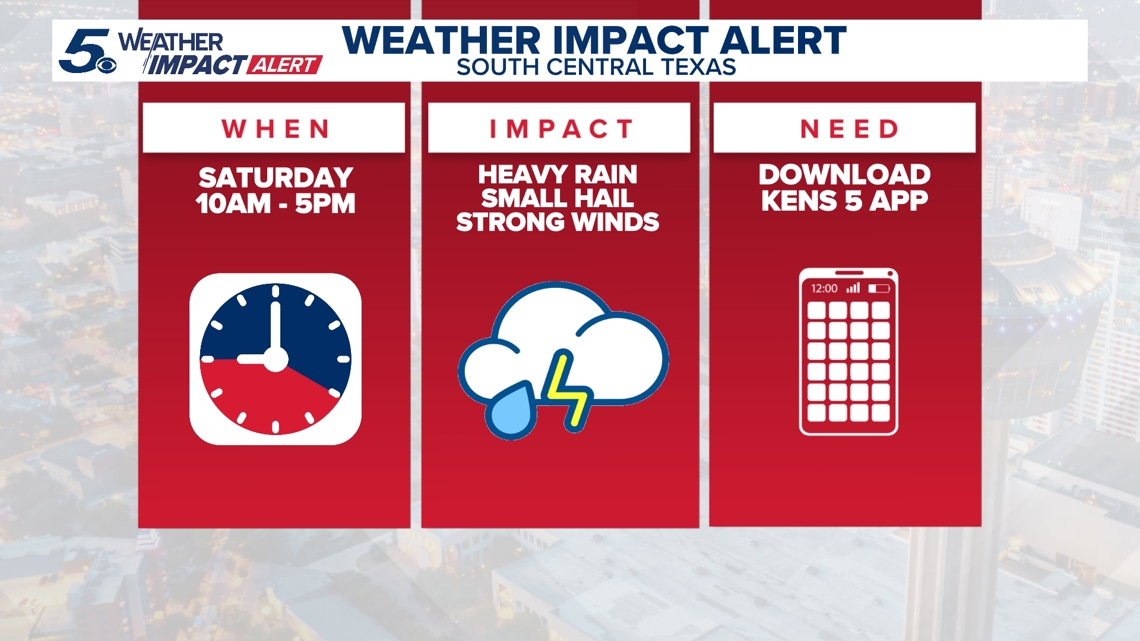
BEXAR COUNTY, Texas — IMPACT DAYS: Saturday and Sunday (April 4-5)
Reason: Strong thunderstorms and a good chance of rain hitting South-Central Texas.
The breakdown
A cold front brought heavy downpours, gusty winds and isolated flooding to the drought-stricken San Antonio area on Saturday, which received much-needed rain while avoiding hazardous weather.
Cooler temperatures and scattered showers are expected to continue into Easter Sunday.
For Saturday, the Level 1 out of 5 risk for severe weather largely shifted east, with eastern Bexar County on the outer edge of the impacted area. Here’s a look at how Saturday’s precipitation looked in the area:
Winds have also been gusty between 25 mph and 35 mph; that’s expected to continue through Easter Sunday afternoon.
Rainfall totals could eclipse one and a half inches across the San Antonio area by Monday morning. Temperatures will drop eight to 10 degrees below seasonal averages Sunday and Monday.
Here’s a look at the anticipated Sunday afternoon highs for communities in the region:
- Rocksprings: 58
- Kerrville: 60
- Fredericksburg: 63
- Eagle Pass: 64
- New Braunfels: 64
- Uvalde: 64
- Del Rio: 65
- Gonzales: 66
- Llano: 66
- San Antonio: 66
- San Marcos: 66
This is a developing weather event. Refresh the page for the latest updates.