Stay updated with the KENS 5 Weather Team on this severe weather development and how it impacts you.
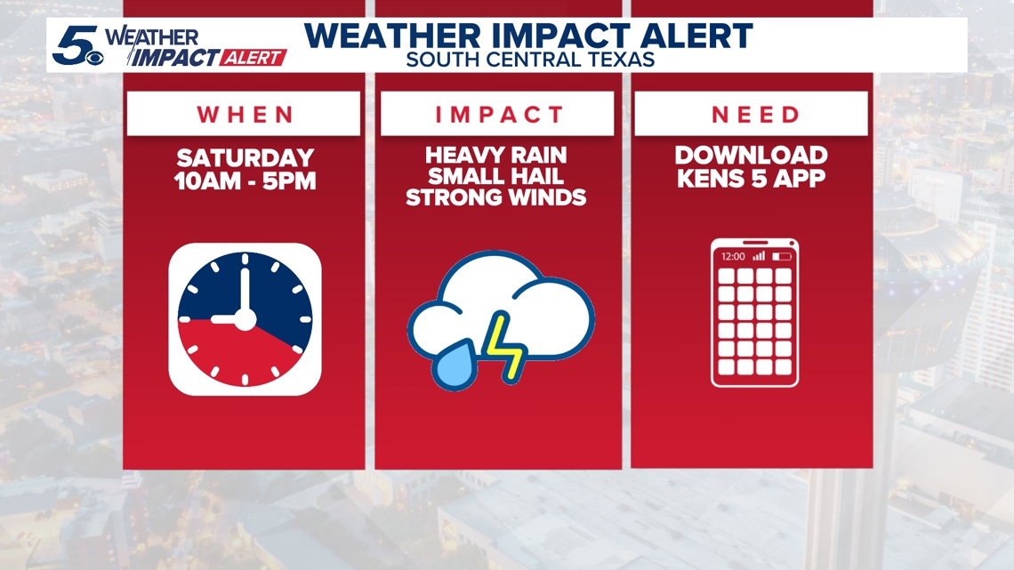
BEXAR COUNTY, Texas — IMPACT DAYS: Saturday and Sunday (April 4-5)
Reason: Strong thunderstorms and a good chance of rain hitting South-Central Texas.
The breakdown
A cold front will bring widespread rain and a slight chance for strong storms Saturday, including the possibility of hail. Cooler temperatures and scattered showers are expected to continue into Easter Sunday.
San Antonio is not in the area expecting severe weather, but the Alamo City could still see heavy rain and an isolated thunderstorm.
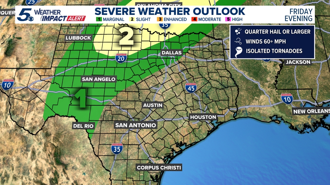
Saturday, the Level 1 out of 5 risk for severe weather shifts east, with eastern Bexar County on the outer edge of the impacted area.
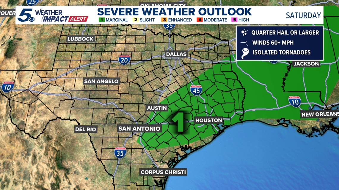
The showers are expected to begin early Saturday morning before the cold front sweeps through Saturday afternoon. San Antonio peaks at an 88% chance of rain on Saturday.
Winds will be gusty between 25 mph and 35 mph, starting Saturday afternoon and continuing through Sunday afternoon.
Rainfall totals could eclipse one and a half inches across the San Antonio area by Monday morning. Temperatures will drop eight to 10 degrees below seasonal averages Sunday and Monday.
Here’s a look at the anticipated Sunday afternoon highs for communities in the region:
- Rocksprings: 58
- Kerrville: 60
- Fredericksburg: 63
- Eagle Pass: 64
- New Braunfels: 64
- Uvalde: 64
- Del Rio: 65
- Gonzales: 66
- Llano: 66
- San Antonio: 66
- San Marcos: 66
This is a developing weather event. Refresh the page for the latest updates.