Thursday kicks off a pattern of isolated showers and afternoon storms that will continue in South-Central Texas until close to the start of Fiesta.
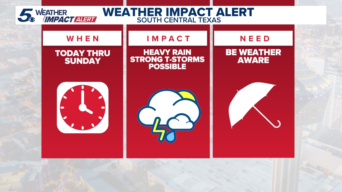
BEXAR COUNTY, Texas — Impact Days: Thursday through Sunday (April 9-12) and Wednesday, April 15
Reason: Strong thunderstorms and isolated showers
The breakdown
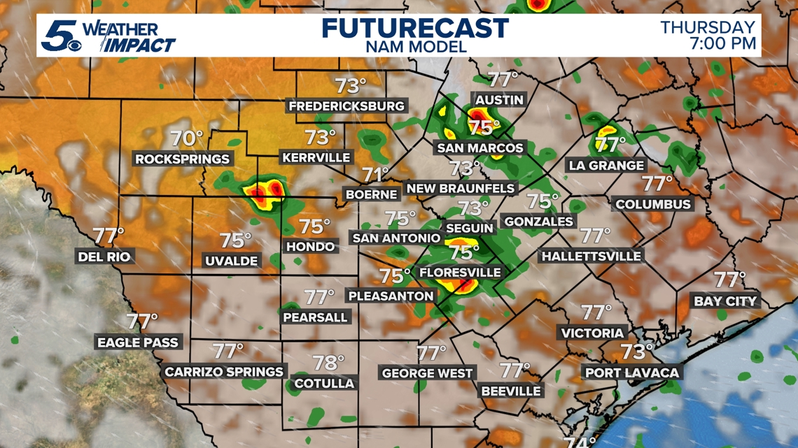
Rain chances arrived Thursday with isolated to scattered showers and storms across South-Central Texas, mainly in the afternoon—a trend that will stick around through the weekend. Rain is even more likely Friday, but these will largely consist of heavy downpours and isolated flooding in some urban areas.
The strong weather threat arrives this weekend, according to the National Weather Service (NWS), with heavy rain gradually moving from west to east beyond San Antonio. Siclovia, the annual event for bicyclists and walkers to take over Broadway in the Alamo City, has already been rescheduled due to the weather.
“Additional rounds of showers and storms, with an isolated threat for severe weather and heavy rain, are possible after Sunday,” the NWS said in its latest forecast.
Much of the Hill Country and communities west of San Antonio – including Eagle Pass, Uvalde, Kerrville and Fredericksburg – are under a Level 1 out of 5 risk for severe weather on Saturday. Further west, Del Rio and Rocksprings face a more severe Level 2 threat.
But Kerrville, Fredericksburg, Uvalde and communities further west are all included in a Level 1 out of 4 risk area for excessive rain Saturday. On Sunday, that threat area shifts west to Bexar County and the Interstate 35 corridor.
Severe weather is largely expected to be limited to the late-afternoon and evening hours this weekend. These storms will be isolated to scattered; because there isn’t a cold front, there will be no specific focus area for the storms.
Looking ahead
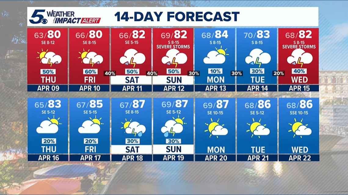
Rain chances persist into next week as we approach the start of Fiesta. Morning lows remain in the mid-to-upper-60s amid afternoon highs that are a couple degrees warmer than usual.
This is a developing weather event. Refresh the page for the latest updates.