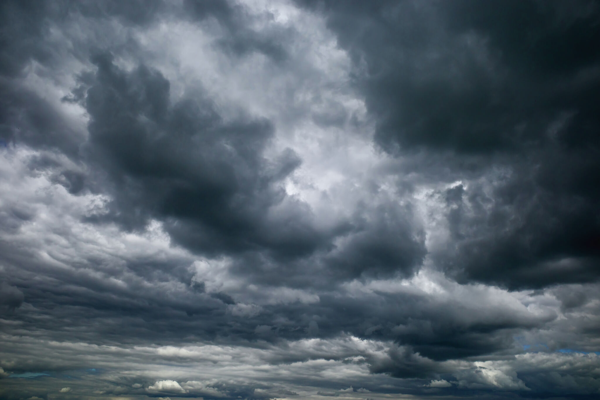
The first of two major cold fronts is hitting Texas on Thursday, January 11, and the National Weather Service’s Storm Prediction Center reports there is “a risk for a strong nocturnal tornado or two” for portions of North and East Texas as a “widespread and fast-moving severe weather event” develops in the area tonight. Most of Arkansas and Louisiana also face a risk of tornadoes, according to NWS.
A number of areas in Texas are facing an enhanced risk for tornado development on Thursday, which the NWS characterizes as a 3 out of 5 and in the orange shaded area of the map. These cities include Texarkana, Marshall, Atlanta, Jefferson, Daingerfield, Waskom, Hallsville, Mt. Pleasant, New Boston, and Linden.
Texas cities in the yellow-shaded risk area, characterized as facing a “slight risk” for development, include Lufkin, Nacogdoches, Longview, Tyler, Livingston, Jasper, San Augustine, Crockett, Palestine, Jacksonville, Whitehouse, Gladewater, Carthage, Center, Henderson, Hemphill, Lindale, Groveton, Athens, and Sulphur Springs.
NWS’ SPC said that the risk or tornadoes will be accompanied by possible strong and damaging wind gusts, and “very large hail greater than 2 inches in diameter,” according to an outlook shared on social media.
The thunderstorms are predicted to develop around midnight, and are forecast to move quickly east and northeast across to the Southeastern part of the United States through Friday. Louisiana, Mississippi, Alabama, Florida, Georgia, South Carolina, and North Carolina are at risk of seeing “a few strong tornadoes” develop, as well as facing possible wind gusts 75 miles per hour or greater.
Original News Source Link
Need digital marketing for your business? Check out KingdomX Digital Marketing San Antonio!