A second cold front will arrive late this week bringing a 15-degree drop in high temperatures.
SAN ANTONIO — Good measurable rainfall has finally arrived to San Antonio!
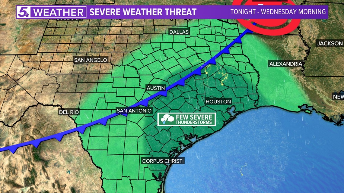
As a cold front moves into San Antonio late Tuesday evening widespread rainfall with isolated thunderstorms will occur through early Wednesday morning. This also brings a chance of isolated storms to dump possibly 1 to 2 inches of rainfall overnight.
Then, a second cold front will arrive late this week bringing below-average temperatures for the weekend.
Here’s what San Antonians can expect:
Tuesday: As a cold front moves closer to San Antonio shower activity bringing decent rainfall to Bexar County is expected through late evening.
The biggest concerns with this front are damaging winds with possible wind gusts over 40 mph. Hail and isolated tornadoes are at a low threat with this system. These hazards will be more likely to occur after 10 p.m. Tuesday.
Around midnight the cold front will move past San Antonio.
Wednesday (High 63 and Low 48): Early morning hours will continue to bring rainfall and storm activity. One weather model places heavier downpours near the New Braunfels area, however isolated storms could still bring up to 1 to 2 inches of rainfall in more localized areas around Bexar County. Don’t be surprised if you hear a rumble of thunder during the early morning.
The front will be south of San Antonio in time for the morning commutes and roads may still be slick with ongoing shower activity. Rainfall should be out of our region by the afternoon.
Breezy conditions will persists after the front passes with wind gusts up to 20-25 mph. Temperatures from this front will not be a significant drop. However, drier air in place will drop temperatures in the low 40s by late evening.
Thursday (High 70 and Low 40): A beautiful afternoon with high temperatures in the low 70s is expected until another cold front moves through San Antonio by late evening. This front is expected to bring cold weather with a near 15-degree drop in high temperatures for Friday. No rain is expected with this front.
Friday (High 55 and Low 39): A cold morning in store with temperatures in the 30s. Dry air and windy conditions will be in place behind the front with wind gusts over 30 mph. These conditions will be in place through evening.
Weekend: Plenty of sunshine as an upper-level ridge builds allowing for a warming trend. Chilly mornings are in store for the weekend with temperatures near-freezing for Saturday and 40s for Sunday. However, afternoon temperatures will stay in the low 60s. You’ll want to dress in layers for the weekend.
Enjoy the cooler weather!
Rain comes back in the forecast next week as another front heads to San Antonio around Tuesday. Currently we have a 40% chance of showers for Tuesday.