Beginning Friday, Jan. 12, crews will hit the streets to pretreat bridges and other roadway areas susceptible to wind and ice.
TYLER, Minn. — **EDITOR’S NOTE: The video above is from Dec. 2021.
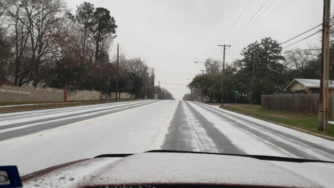
The National Weather Service (NWS) says the likelihood of an Arctic air intrusion across much the East Texas area appears to be increasing for early next week. That’s why crews with the Texas Department of Transportation (TxDOT) are preparing roadways in the event of wintry and icy conditions.
TxDOT says beginning Friday, Jan. 12, crews will hit the streets to pretreat bridges and other roadway areas susceptible to wind and ice.
“I-20 and other major roadways will be pretreated with a brine solution consisting of salt and water designed to prevent ice and snow from sticking to surfaces,” TxDOT said. “The process is a fast-moving mobile operation with minimal impacts to traffic. Drivers should allow a safe traveling distance between their vehicles and the mobile convoys distributing the pretreatment materials.”
TxDOT Lufkin said crews will start placing a brine mixture on major roadways, overpasses and bridges Friday ahead of the forecasted winter weather. Crews will treat roads again on Saturday and/or Sunday, if needed.
In the Lufkin district, roadways like US 59 and US 259 will be treated and monitored. Bridges and overpasses will also be treated, including US Highway 69, US 190, US 84, US 287, and US 259, State Highway 94, SH 103, SH 7, SH 21 and others throughout the district, according to TxDOT.
Tips for driving in wintry conditions include:
- Avoid unnecessary travel if conditions warrant.
- Be extra cautious on bridges, overpasses, ramps, turns and shaded areas that usually freeze first.
- Reduce speed and allow extra time to reach destinations.
- Increase the following distance between you and other vehicles.
- If you start to slide, ease off the gas pedal or brakes and steer into the direction of skid.
- Stay back at least 200 feet from vehicles treating roadways and move over for emergency vehicles.
- Be patient. Your trip time could increase when adverse weather conditions exist.
- Remain in your vehicle. If stranded, please call 911 to alert emergency services.
According to the NWS, temperatures will plummet into the 20s and teens. Gusty winds will also make their way to the area, possibly dropping the wind-chills into the single digits.
“This may result in an extended period of freezing temperatures across our region in addition to some wintry precipitation starting late Sunday into Monday,” the NWS said. “Snow, sleet and ice accumulations cannot be ruled out in Monday through Monday night.”
CBS19 Chief Meteorologist Brett Anthony says it’s possible this is the coldest air we see all winter .
Keep up with the latest weather by downloading the FREE CBS19 mobile app:
CBS19 is also available 24/7 through our CBS19+ app. Download it for free on Roku, Amazon Fire and Apple TV.
Original News Source
Running For Office? Conservative Campaign Management – Election Day Strategies!