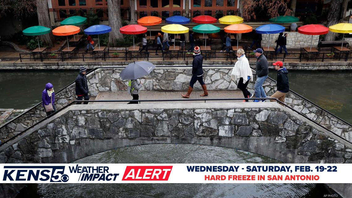
SAN ANTONIO — Weather Impact Alert Days: Saturday, Feb. 22
Reason: Cold temps with wind chills in the 20s. Freezing drizzle on Saturday morning.
What we’re expecting
The end of this week’s arctic blast is nigh, with sunshine not too far away for San Antonio.
Arctic air remains into Saturday after a warm start to the week gave way to bitter cold, sending the mercury into the 20s midweek and bringing wind chill levels in the single-digits in some areas.
Friday night was the last time this arctic blast that temperatures plunge to freezing levels. But a Winter Weather Advisory is in place for Bexar, Comal, Guadalupe, Wilson and Gonzales counties until 9 a.m. Saturday, due to a possibility for freezing rain in the nighttime and overnight hours.
San Antonio, Northside and North East ISDs have all canceled Friday’s after-school activities due to the freezing rain potential.
Every day this week has seen lows in the 30s or colder, with the mercury reaching the low or mid 20s on Wednesday and Thursday mornings. That’s about 20 degrees colder than the average low for San Antonio this time of year, per National Weather Service data, while Thursday’s high of 37 degrees was 30 degrees below normal.
It remains important for those in San Antonio, the Hill Country and other surrounding communities to remember the four Ps on Friday: people, pets, plants and pipes!
That is, check on your vulnerable neighbors; bring pets inside overnight to shelter them from the bitter cold; and protect your plants and pipes so they aren’t damaged.
Day-by-day breakdown
Saturday: Low 32, high 42. The shower chances have risen to 50% in San Antonio, and wind gusts reaching 8 mph could make it feel colder than the mercury reads.
Sunday: Low 39, high 63. No rain chances, and the wind also dies down as the afternoon sees a huge warm-up compared to Saturday afternoon.
Monday: Low 48, high 74. Spring-like conditions return in earnest to the Alamo City, along with mostly sunny skies.
State preparations
Meanwhile, the state’s power grid operator ERCOT on Monday issued a Weather Watch for this week, putting it into effect from Wednesday through Friday. ERCOT said it’s expecting grid conditions to be normal even with the colder temperatures, adding there’s expected to be a higher electrical demand and potential for lower reserves in Texas.
Governor Greg Abbott also expressed confidence the power grid will be able to handle what could be some of the coldest conditions ever experienced in parts of Texas.
This is a developing weather event. Refresh the page for the latest updates.