Believe it or not, the region’s ongoing extreme drought is one of the reasons.
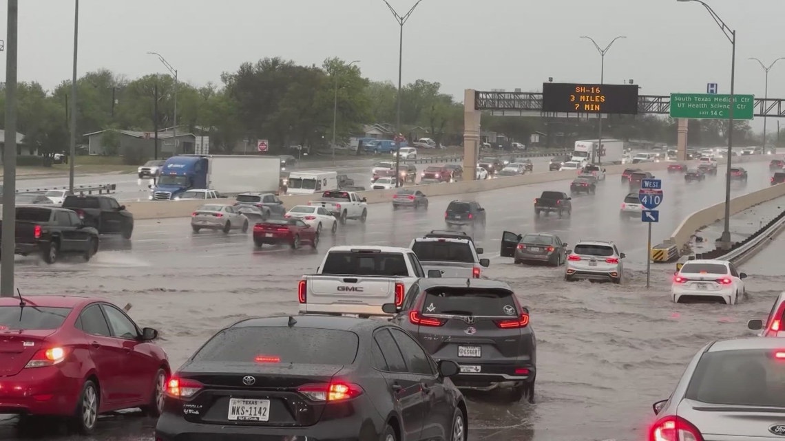
SAN ANTONIO — San Antonio is a city that floods easily, just as it did Wednesday night heading into Thursday morning.
The city sits in a part of Texas that is often called Flash Flood Alley, one of the most flood-prone regions in the country. There are three main factors contributing to this.
The first is the Balcones Escarpment. It’s a geologic fault zone extending in an arc across Texas just to the northwest of San Antonio, including Austin and the I-35 corridor.
Warm, moist air gets trapped just to the east of it producing heavy rainfall events. Steep terrain, shallow soils and narrow river channels send runoff quickly downhill. The result, fast and erosive floodwater that can affect communities downstream, particularly in the Bexar County area.
The town of Wimberley is also located just east of the escarpment. In 2015, the Blanco river rose to a record 40 feet destroying 350 homes and taking 13 lives. UTSA researchers found that development in the area also contributed to the disaster.
That is also known as urbanization and is the second flash flood factor. Rapid development of the area east of the Balcones Escarpment has replaced nature with man-made roads and buildings. When there are storms there is nowhere for the water to go. It slides off concrete structures with fewer plants and soil to absorb the water.
The final factor is our long-term drought. Even with recent rains, prolonged dry periods force the soil to repel water and when that rain falls, it tends to flow over the surface instead of going through it, so the soil can’t soak it in.
In the future, climate change will likely make conditions worse with extreme heat leading to more extreme rain events as warmer air can hold more moisture.